Tap a day to trace it. Your certified guide sets the pace and monitors acclimatization throughout.
Imlil — Tamatert — Tizi n'Tamatert — Tacheddirt
Day 1
+890 m / −330 m elevation 4½–5½ h walking
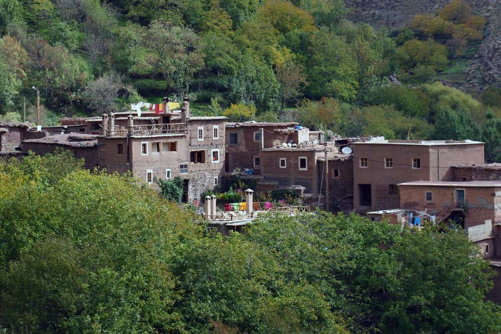
Pickup from your Marrakech riad and the 90-minute drive to Imlil (1,740 m), where you meet your guide and muleteer. The route heads east on the piste through the walnut terraces of Aït Souka and up to Tamatert at about 1,810 m, a compact village of earth-built houses. Above the village a mule track climbs in zigzags through Aleppo pine and juniper to Tizi n'Tamatert at 2,279 m, reached in about two hours, with the Imlil valley behind and the Imenane valley opening ahead beneath the long ridge of Jbel Oukaimeden. From the col the path does not drop to the river but follows a level contour track along the south side of the valley, high above the villages of Tinerhourhine and Ouanskra, for about 5 km towards the valley head. The last section rises gently to Tacheddirt at about 2,300 m, the highest permanent village in the High Atlas, its houses stacked on the slope beneath the peaks of Aksoual and Bou Iguenouane. The night is spent in the village.
Overnight & Meals: Night 1: traditional mountain guesthouse in Tacheddirt (c. 2,300 m), selected by Imlil Trek — or a camp beside the village in good weather. Meals: picnic lunch at the pass, home-cooked dinner. Cold: Tacheddirt nights are cold in every season.
Tacheddirt — Tizi n'Tacheddirt — Iabassene — Timichi
Day 2
+900 m / −1,200 m elevation 6½–7½ h walking
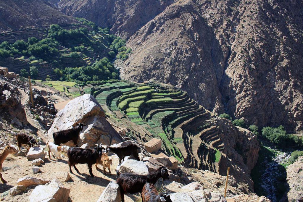
The crossing day starts early. From Tacheddirt the path climbs eastwards up the head of the Imenane valley, at first through the last terraces and then over open, stony ground beneath the south face of Angour, a dark wall of cliffs that dominates the ascent. The gradient is steady and the path well trodden by mules; after two and a half to three hours it reaches Tizi n'Tacheddirt at 3,172 m, the highest point of the trek. The col is a broad saddle with a panorama in both directions: Aksoual and Bou Iguenouane behind, the Oukaimeden massif to the north, and ahead the deep trench of the Ourika valley. The descent is long and steep, dropping on a rocky path into the upper Ourika and easing as the valley greens; a spring and the small village of Iabassene make the usual picnic stop. The afternoon continues down the valley on an improving path to Timichi at about 2,000 m, a village set among terraces where the night is spent.
Overnight & Meals: Night 2: traditional mountain guesthouse in Timichi (c. 2,000 m), selected by Imlil Trek. Meals: breakfast at the guesthouse, picnic at Iabassene, dinner at the guesthouse. Water: carry two litres from Tacheddirt — nothing on the col section (c. 5 h).
Timichi — Tiourdiou — Anfli — Tadrart — Agadir n'Aït Boulmane — Setti Fatma
Day 3
+275 m / −775 m elevation 4½–5½ h walking
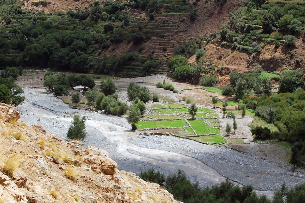
The last day is a river walk. From Timichi the path follows the Assif n'Ourika downstream, crossing and recrossing the water on stepping stones and footbridges, through a string of villages that grow larger and greener as the valley widens: Tiourdiou, Anfli and Tadrart, each with its terraces of barley and maize and its walnut groves along the river. The walking is easy on a mix of mule path and piste, with the gorge narrowing and opening in turn; lunch is usually taken in the fields below Tadrart. The final section passes Isghouarne and Agadir n'Aït Boulmane before the valley opens into the busy roadhead village of Setti Fatma at about 1,500 m, with its riverside cafés and, for those with time, the short walk to its waterfalls. The trek ends here, and your driver takes you back to Marrakech down the Ourika valley.
Overnight & Meals: Meals: breakfast at the guesthouse, picnic lunch below Tadrart. Back in Marrakech: late afternoon, by the Ourika road. After rain: the river crossings can be awkward; the guide chooses the bank.