Imlil — Tidli forest — Adrar Tidli viewpoint — Aroumd — Imlil
Day 1
8–10 km distance +650–700 m / −650–700 m elevation 4–5 h walking
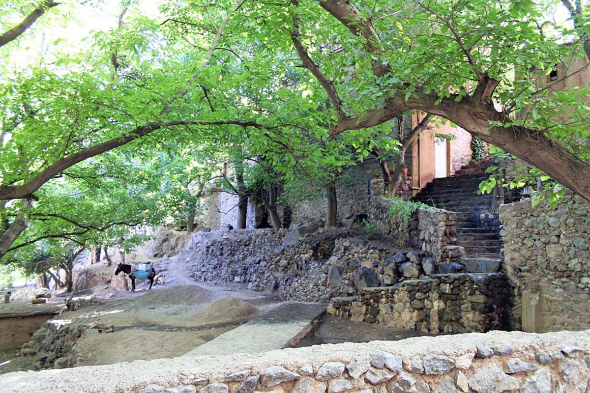
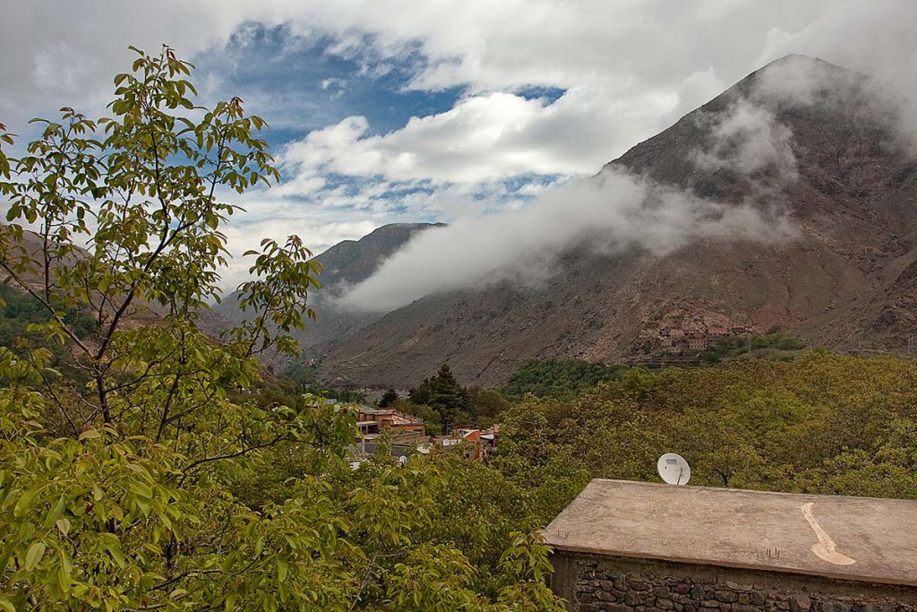
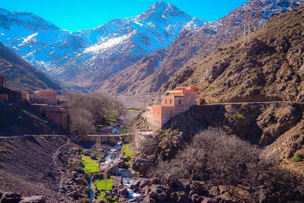
Pickup from your Marrakech riad and the 90-minute drive to Imlil (1,740 m), where bags are dropped at the guesthouse and you meet your guide. The walk climbs south-west out of the village between walled orchards and irrigation channels onto the mule path that enters the Tidli forest — Aleppo pine and juniper, open enough for views back over the roofs of Imlil — and rises through the trees in long zigzags for an hour and a half or so before the forest thins onto the rocky shoulder of Adrar Tidli at about 2,400 m. This is the viewpoint and the picnic stop: Jbel Toubkal and the peaks of the Mizane cirque to the south, the terraces of Aroumd below, the Imlil valley running north towards Asni and the Tizi n'Tamatert ridge to the east. The descent leaves the ridge on the Aroumd side, dropping on stony shepherd paths through scattered juniper to the upper terraces of Aroumd at 1,900 m, the largest village of the valley, built on a rocky spur. From Aroumd the wide track beside the river leads back past the Imlil waterfall to the village and your guesthouse.
Overnight & Meals: Night 1: traditional mountain guesthouse in Imlil, selected by Imlil Trek — private or shared rooms, a terrace with mountain views, home-cooked dinner. Meals: picnic lunch at the viewpoint, dinner at the guesthouse. Evening: choose tomorrow's walk with the guide.
Your choice: Sidi Chamharouch, Tizi n'Tamatert or Tizi Mzik — and back to Imlil
Day 2
+540–860 m elevation 3½–6 h walking
Option A — Sidi Chamharouch (13–14 km, +610 m, 5–6 h). The Toubkal path: south through the hamlets below Aroumd, up the stone steps into the village, across the boulder flood plain and up the zigzags on the left bank, with Toubkal's north face at the head of the valley, to the shrine hamlet of Sidi Chamharouch at 2,350 m, where a white marabout's shrine stands under a huge boulder beside a waterfall. Same path back. Option B — Tizi n'Tamatert (8–9 km, +540 m, 3½–4½ h). The easiest: the piste east through the walnut terraces of Aït Souka to the earth-built village of Tamatert, then a mule track through pine and juniper to the col at 2,279 m, looking down into the Imenane valley and across to Jbel Oukaimeden, with Toubkal to the south. Lunch at the pass or in a family home in Tamatert on the way down. Option C — Tizi Mzik (9–10 km, +750–860 m, 4–5 h). The highest: west through Arghen to Mzik, then the long, even switchbacks through juniper, past the park boundary sign, to the col at 2,489 m and its double view — Imlil, Aroumd and the Toubkal massif on one side, the Azzaden valley and the Tazaghart plateau on the other. Same track back.
Overnight & Meals: Meals: breakfast at the guesthouse, picnic lunch on the walk. Back in Marrakech: late afternoon. Dec–Feb: the guide picks the option to suit the snow — Sidi Chamharouch is usually open when the passes are not.