
Imlil — Mzik — Tizi Mzik — Tasserimoute plateau — and back
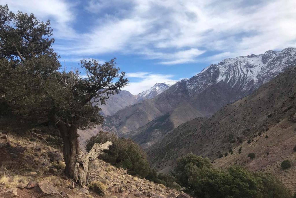
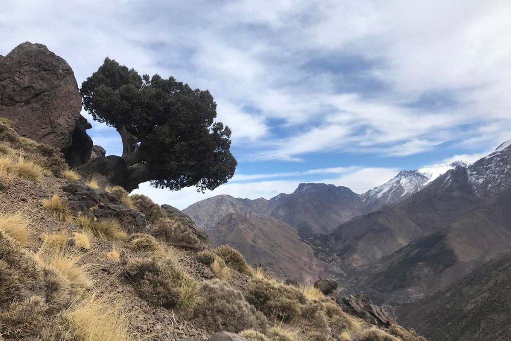
Day HikePickup from your Marrakech riad and the 90-minute drive to Imlil (1,740 m). The walk leaves the village westwards, past the hamlet of Arghen and across terraces of walnut and apple to Mzik, a small village at the foot of the pass where a spring under walnut trees is the last shade of the climb. From Mzik the mule track begins its long series of switchbacks up the open hillside — juniper and thorny scrub, a wide, well-graded path, a rhythm that is steady rather than strenuous. After about an hour you pass the Toubkal National Park boundary sign at roughly 2,060 m; from here Imlil, Aroumd and the Mizane valley towards Jbel Toubkal are constant companions. Two and a half to three hours after leaving Imlil the track reaches Tizi Mzik (2,489 m), a wide saddle marked by cairns, with the Azzaden valley dropping away to the west and the cliffs of the Tazaghart plateau beyond. The summit section turns south along the ridge on a rocky path and climbs a further 100 m or so to the Tasserimoute plateau, a flat-topped viewpoint at about 2,600 m from which the entire Toubkal massif, Ouanoukrim and the Imlil valley are seen without obstruction. Lunch is taken here or at the pass; the descent follows the same track back through Mzik to Imlil.