Tap a day to trace it. Your certified guide sets the pace and monitors acclimatization throughout.
Aguersioual — Tizi n'Aguersioual — Amsakrou
Day 1
5–6 km distance +350 m / −330 m elevation 3–3½ h walking
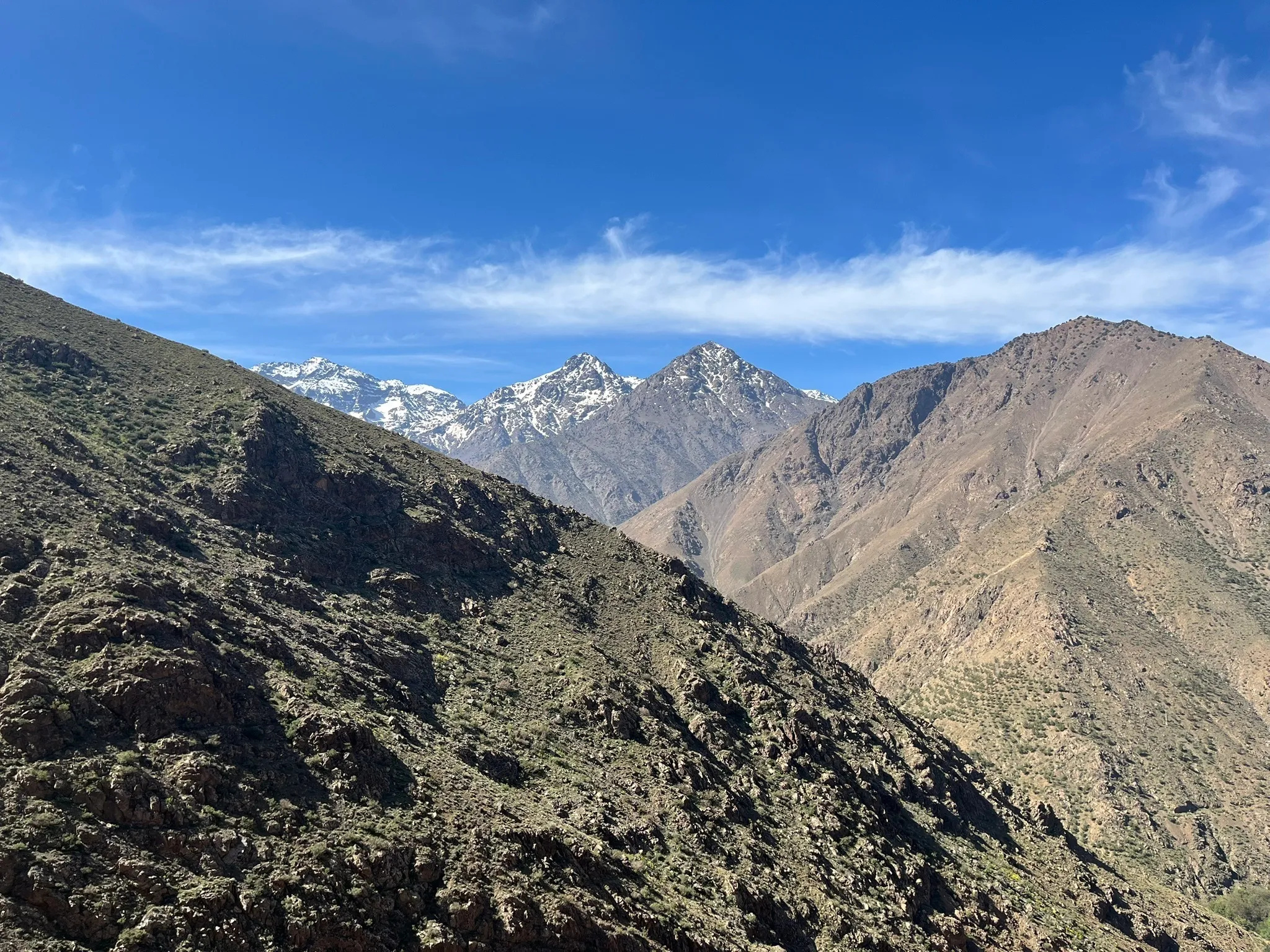
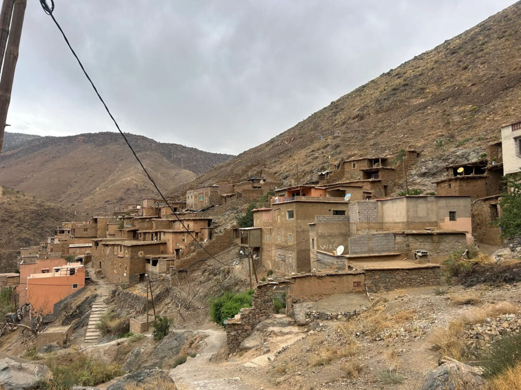
Pickup from your Marrakech riad and a drive of about 1 h 20 to Aguersioual, a village on the Asni–Imlil road at roughly 1,680 m, where you meet your guide and muleteer. The path leaves the road eastwards and climbs a dry side valley on a mule track between scattered junipers and rocky outcrops; the gradient is moderate and the pass of Tizi n'Aguersioual, at around 1,900 m, is reached in little more than an hour. The col is the first viewpoint of the trek: the Imenane valley below with its terraced villages on the opposite slope, the bulk of Jbel Oukaimeden closing the view to the north-east, and to the south the Toubkal massif above the ridge of Tizi n'Tamatert — the mountain you will stand on in three days' time. A short zigzag descent reaches the valley floor and the village of Amsakrou at about 1,700 m, set among irrigated terraces of barley, maize and walnut above the river. The walk is over by early afternoon, by design: this is the first of two easy days meant to settle the legs and start the body's adjustment to altitude.
Overnight & Meals: Night 1: traditional mountain guesthouse or family home in Amsakrou (c. 1,700 m), selected by Imlil Trek. Meals: lunch in the village, home-cooked dinner. Optional: an afternoon stroll along the valley.
Amsakrou — Ikkiss — Tinerhourhine — Tizi n'Tamatert — Tamatert — Aroumd
Day 2
13–14 km distance +750 m / −550 m elevation 6–7 h walking
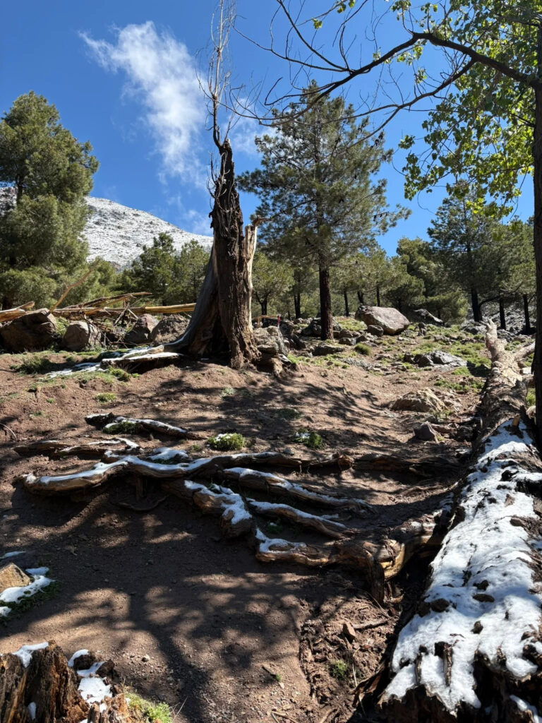
The second day follows the Imenane valley upstream on the mule path that joins its villages. From Amsakrou the route passes through the terraces to Ikkiss, a cluster of earth-built houses on the slope, and continues to Tinerhourhine, facing the larger village of Ouanskra across the river, with Tacheddirt — the highest village in the range — visible at the valley head. The path then leaves the valley floor and climbs south-west through Aleppo pine and juniper in steady zigzags to Tizi n'Tamatert (2,279 m), the pass that links the Imenane to the Imlil valley, and the natural lunch stop: the Toubkal massif fills the view to the south and the Imlil valley lies spread out below. The descent follows the well-made track down to the village of Tamatert and through the walnut terraces of Aït Souka, but instead of dropping into Imlil the route crosses the stream and continues south along the valley to Aroumd, the largest village of the Mizane, climbing its stone steps to the houses on the rocky spur at 1,900 m, with the north face of Toubkal at the head of the valley.
Overnight & Meals: Night 2: traditional mountain guesthouse in Aroumd (1,900 m), selected by Imlil Trek — rooms, a terrace facing the mountain, home-cooked dinner. Meals: breakfast at the guesthouse, picnic lunch at the pass, dinner at the guesthouse.
Aroumd — Sidi Chamharouch — mountain refuge
Day 3
+1,320 m / −15 m elevation 4½–5½ h walking
From Aroumd the path drops onto the broad flood plain of the Assif n'Ait Mizane, a pale expanse of river boulders crossed on cairned paths, and follows the left bank southwards. The gradient is gentle at first, then steepens into long zigzags above the river to the hamlet of Sidi Chamharouch at 2,350 m, where a white marabout's shrine stands beneath a huge boulder beside a small waterfall; the shrine is reserved for Muslim visitors, but the stalls sell mint tea, juice and snacks and this is the usual lunch stop. A footbridge crosses the stream and the path continues on the opposite bank, now above the tree line, through rocky pasture with Toubkal's north face growing ahead. The final hour is a steady climb to the stone refuges at 3,207 m, set in a cirque beneath the mountain. An early dinner and an early night follow: the summit push starts in the dark.
Overnight & Meals: Night 3: mountain refuge at 3,207 m, selected by Imlil Trek — dormitory-style, blankets, hot dinner. Meals: breakfast at the guesthouse, lunch at Sidi Chamharouch, dinner at the refuge.
Refuge — Ikhibi Sud — Toubkal summit — Sidi Chamharouch — Aroumd — Imlil
Day 4
17–19 km distance +965 m / −2,430 m elevation 8½–10 h walking
The day begins at around 04:30–05:30 with a head torch. Directly behind the refuges the path crosses the stream and climbs into the Ikhibi Sud, the south cwm, a steep bowl of scree and boulders, zigzagging up its right-hand side on a loose but well-trodden path. The gradient eases where the cwm opens onto a shoulder, and a rising traverse reaches the col of Tizi n'Toubkal at roughly 3,940 m. From the col the summit crest leads north-east over broken rock to the iron pyramid at 4,167 m, usually three to four hours after leaving the refuge, with a panorama that takes in Ouanoukrim and the whole High Atlas ridge, the Anti-Atlas and Jbel Siroua to the south, the Haouz plain to the north — and, closer, the ridge of Oukaimeden and the Imenane valley you walked through on the first two days. The descent to the refuge takes about two hours on the loose scree. After a second breakfast the walk back down the Mizane valley through Sidi Chamharouch and Aroumd to Imlil takes another three to four hours, where your driver waits. In winter the whole cwm is on snow and ice and crampons and an ice axe are used from the refuge.
Overnight & Meals: Meals: pre-dawn breakfast and a second breakfast at the refuge, packed lunch on the descent. Back in Marrakech: around 5–6 pm. Nov–Apr: crampons and ice axe from the refuge; the guide sets the turnaround time.