Tap a day to trace it. Your certified guide sets the pace and monitors acclimatization throughout.
Imlil — Tamatert — Tizi n'Tamatert — Tinerhourhine — Ouanskra
Day 1
10–11 km distance +600 m / −340 m elevation 4½–5½ h walking
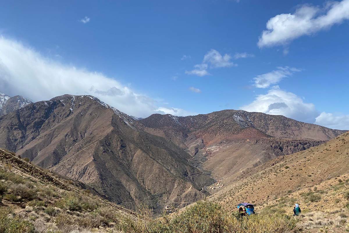
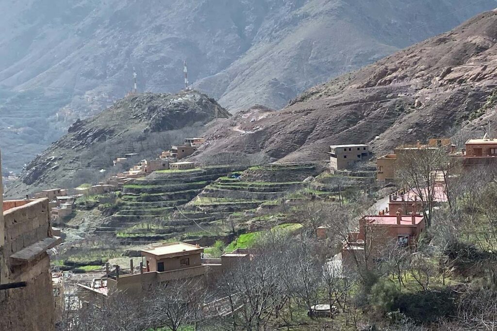
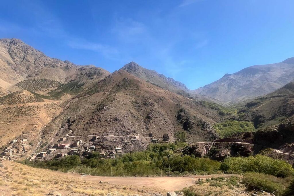
Pickup from your Marrakech riad and the 90-minute drive to Imlil (1,740 m), where you meet your guide and muleteer. The route heads east on the piste that climbs out of the village through the walnut terraces of Aït Souka, crosses the stream and rises to Tamatert at about 1,810 m, a compact village of earth-built houses. Above Tamatert a mule track climbs in zigzags through Aleppo pine and juniper, with the Imlil valley opening below and Toubkal appearing over the ridge, to the col of Tizi n'Tamatert (2,279 m) after about two hours. The pass looks down into the Imenane valley with its string of villages on the far slope and the long ridge of Jbel Oukaimeden behind them; lunch is often taken here. The path then follows a level contour track along the south side of the valley, high above the river, before dropping to the village of Tinerhourhine, crossing the Assif Imenane and climbing briefly to Ouanskra at about 2,000 m — a village of stacked stone houses with Tacheddirt, the highest village in the range, visible at the valley head.
Overnight & Meals: Night 1: traditional mountain guesthouse in Ouanskra (c. 2,000 m), selected by Imlil Trek. Meals: picnic lunch at the pass, home-cooked dinner.
Ouanskra — Ikkiss — Tizi n'Aguersioual — Aguersioual — Matate
Day 2
11 km distance +620 m / −770 m elevation 5–6 h walking
The second day descends the Imenane valley on the mule track between terraces to Ikkiss, a village of earth houses on the slope, then turns west and climbs a dry side valley to Tizi n'Aguersioual at around 1,900 m, a quiet col with a last view back over the Imenane and Jbel Oukaimeden. The descent on the far side reaches Aguersioual, a village strung along the Asni–Imlil road at about 1,680 m — the only moment of the loop on a road, and a natural lunch stop with shops and a café. The afternoon leaves the road westwards into the narrow Matat side valley, following the stream through terraced fields and walnut groves on an easy climb to the hamlet of Matate at about 1,850 m, a cluster of stone houses on the hillside where the night is spent. Arriving by mid-afternoon leaves time for tea on a roof terrace and a wander through the terraces.
Overnight & Meals: Night 2: traditional mountain guesthouse in Matate (c. 1,850 m), selected by Imlil Trek. Meals: breakfast at the guesthouse, lunch in Aguersioual, dinner at the guesthouse. Resupply: shops in Aguersioual.
Matate — juniper plateau — Tizi Oudite — Aït Aïssa — Tiziane
Day 3
9 km distance +400 m / −550 m elevation 4½–5½ h walking
The shortest day. Above Matate the cultivation stops and the path climbs through open slopes dotted with thuriferous junipers, their trunks twisted by centuries of wind, onto a high plateau of pasture and scattered trees below the col — rough and occasionally faint, which is why a local guide matters here, and the best place on the loop for the quiet and the views back over the Matat valley. From the plateau a last climb reaches the cairns on Tizi Oudite (2,219 m), with the first full view of the Azzaden valley and the high plateau of Tazaghart closing the horizon. The descent drops through juniper and terraces to Aït Aïssa (Id Aïssa) at about 1,800 m, then continues down the valley path for 30–45 minutes to Tiziane, a terraced village at about 1,700 m, where the third night is spent. With the walk over by early afternoon there is time to rest before the longest day.
Overnight & Meals: Night 3: traditional mountain guesthouse in Tiziane (c. 1,700 m), selected by Imlil Trek. Meals: breakfast at the guesthouse, picnic lunch at the col, dinner at the guesthouse.
Tiziane — Aït Aïssa — Tizi Oussem — Tizi Mzik — Mzik — Imlil
Day 4
14–15 km distance +840 m / −800 m elevation 6½–7½ h walking
The final day follows the Assif n'Azzaden upstream on a mule track, back through Aït Aïssa and on through fields of barley and maize and groves of walnut to Tizi Oussem (1,850 m), the last inhabited village in the valley, its red clay houses stacked on the slope above the river. From the village the path turns east and climbs steadily through juniper and pine on the flank of the valley to Tizi Mzik (2,489 m), the highest point of the trek, reached after about three hours. The view from the col swings round to Jbel Toubkal, the Ouanoukrim group and the whole Imlil valley far below; this is the lunch stop. The descent is on the graded mule track that winds down in wide zigzags past the Toubkal National Park sign and the hamlet of Mzik, with its spring under walnut trees, to the orchards and guesthouses of Imlil, where the loop closes and your driver waits.
Overnight & Meals: Meals: breakfast at the guesthouse, picnic lunch at the pass. Back in Marrakech: late afternoon. Dec–Feb: Tizi Mzik can carry snow after storms — microspikes if the guide advises.