Tap a day to trace it. Your certified guide sets the pace and monitors acclimatization throughout.
Imi Oughlad — Tizi n'Tacht — Imi n'Ifri — Tiziane
Day 1
12 km distance +700 m / −450 m elevation 4½–5½ h walking
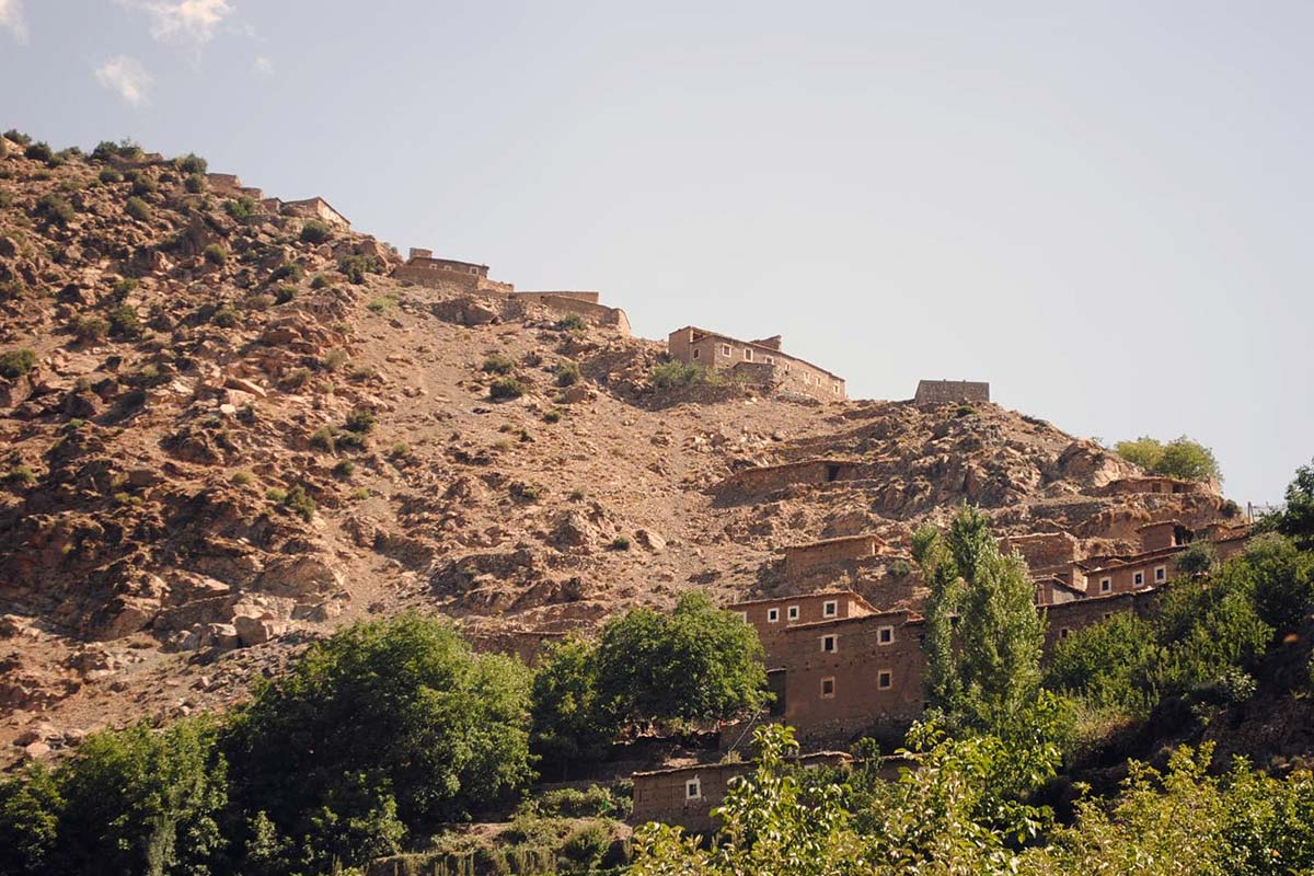
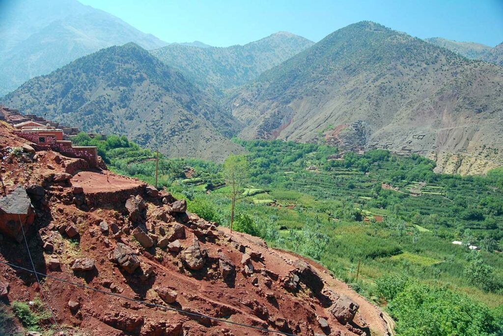
Pickup from your Marrakech riad and a drive of about 1 h 30 via Asni to Imi Oughlad, a village at the end of the road in the foothills north-west of Imlil, at about 1,450 m, where you meet your guide and muleteers. The mule path climbs south-east past cornfields and stone walls, through woods of juniper and pine, with the view opening back over the Asni plain. The pass of Tizi n'Tacht at about 2,000 m is reached after two hours or so and gives the first sight of the Azzaden valley below and the Toubkal massif beyond. A short further walk reaches Imi n'Ifri, the usual picnic spot by a spring. The afternoon is a slow descent of two to two and a half hours along the valley, on a path and dirt track through small villages shaded by walnut and apple trees, with plots of maize and the first of the red-earth landscapes the Azzaden is known for, to Tiziane at about 1,700 m, where the night is spent.
Overnight & Meals: Night 1: traditional mountain guesthouse in Tiziane (c. 1,700 m), selected by Imlil Trek — simple rooms, blankets, home-cooked dinner. Meals: picnic lunch at Imi n'Ifri, dinner at the guesthouse.
Tiziane — Tizi n'Taghrhourt — Tassaka plateau — Assaka spring — D'knt
Day 2
12 km distance +700 m / −530 m elevation 5½–6½ h walking
From Tiziane the path leaves the main valley and climbs for about three hours into the Aït Oussaden, a side valley to the west, through walnut groves and then holm oak and juniper to Tizi n'Taghrhourt at about 2,000 m, with a last view back over the Azzaden. Beyond the col the route crosses the Tassaka plateau, a high shelf of pasture and scattered trees, to the spring at Assaka, the picnic stop. The afternoon descends along the edge of the forest through lush vegetation to D'knt (also written T'knt or Agouns n'Assoul), a small hamlet of a few families near the village of Tizgui at about 1,870 m, where the night is spent in a village house or a bivouac beside it. This is the quietest night of the trek, in a valley with no road and almost no visitors.
Overnight & Meals: Night 2: traditional mountain guesthouse or bivouac at D'knt (c. 1,870 m), selected by Imlil Trek. Meals: breakfast at the guesthouse, picnic at Assaka, dinner at the hamlet. Signal: none in the Aït Oussaden.
D'knt — Tizi n'Tagdalte — Tizi Oussem — Azib Tamsoult
Day 3
14 km distance +1,280 m / −900 m elevation 7–8 h walking 2,700 m sleep alt
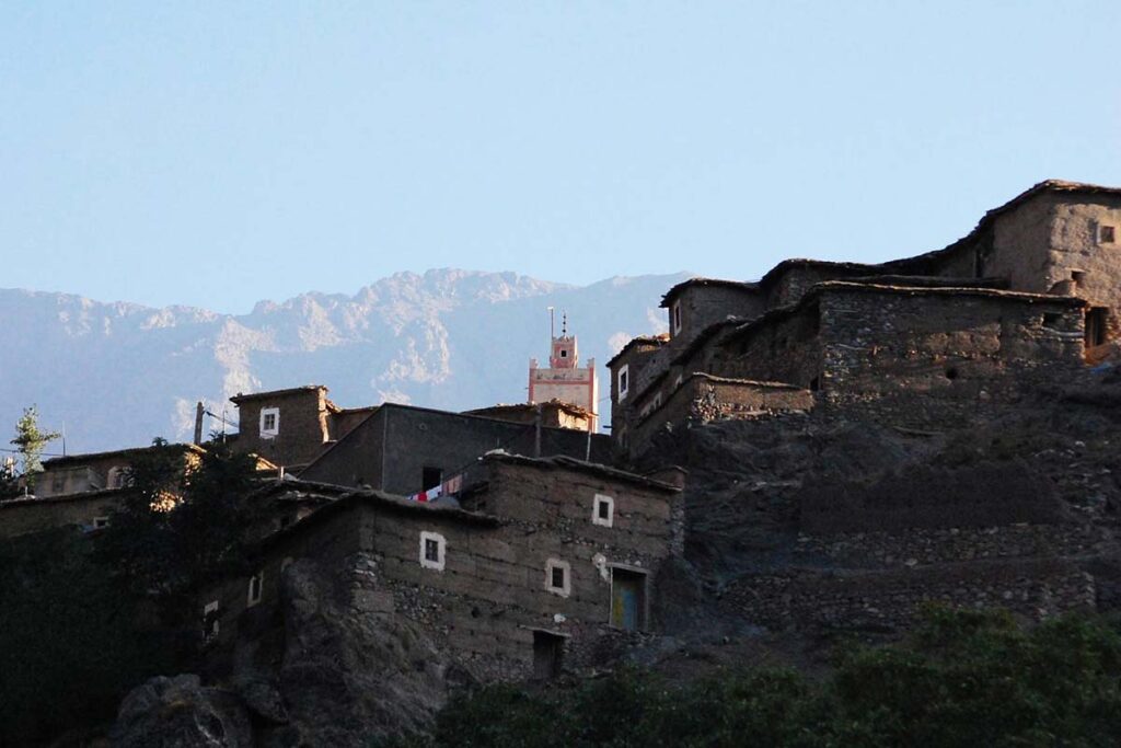
The long day starts early. From D'knt the path climbs for about three hours through walnut groves and terraced fields, then open slopes, to Tizi n'Tagdalte at 2,700 m, the highest point of the trek, with a panorama over the western High Atlas range and back down the Aït Oussaden. A spring below the col is the usual lunch stop. The descent is long, dropping about 850 m on a stony path into the upper Azzaden to Tizi Oussem at 1,850 m, the last permanent village in the valley, with its red clay houses stacked above the river. The final section climbs again through juniper and the Tamsoult gorges, crossing the stream, to the summer pastures of Azib Tamsoult at 2,250 m, a grassy bowl with shepherds' shelters and a small mountain refuge beneath the cliffs of the Tazaghart plateau.
Overnight & Meals: Night 3: mountain refuge or camp at the Tamsoult pastures (2,250 m), selected by Imlil Trek — dormitory or tents, hot meals, a cold starry night. Meals: breakfast at D'knt, picnic below the col, dinner at the pastures.
Azib Tamsoult — Ighouliden falls — Tizi Mzik — Imlil
Day 4
10–11 km distance +460 m / −970 m elevation 5–6 h walking
The day starts with the waterfalls: a rocky path climbs the valley from the pastures for about forty minutes to the foot of the Ighouliden cascades, the highest in the Toubkal massif and at their fullest in spring. Returning to the pastures, the route takes the direct path that climbs east through juniper forest to Tizi Mzik at 2,489 m, regaining about 300 m, where the view swings round to Jbel Toubkal, the Ouanoukrim group and the Imlil valley far below. The last section is a long descent in wide zigzags on a graded mule track, past the Toubkal National Park sign and the hamlet of Mzik, to the orchards and guesthouses of Imlil, where the trek ends and your driver waits.
Overnight & Meals: Meals: breakfast at the pastures, picnic lunch at the pass. Back in Marrakech: late afternoon. Dec–Feb: Tizi Mzik can carry snow after storms — microspikes if the guide advises.