Tap a day to trace it. Your certified guide sets the pace and monitors acclimatization throughout.
Oukaimeden — Tizi n'Ou Addi — Tacheddirt — Ouanskra
Day 1
11 km distance +350 m / −970 m elevation 4½–5½ h walking
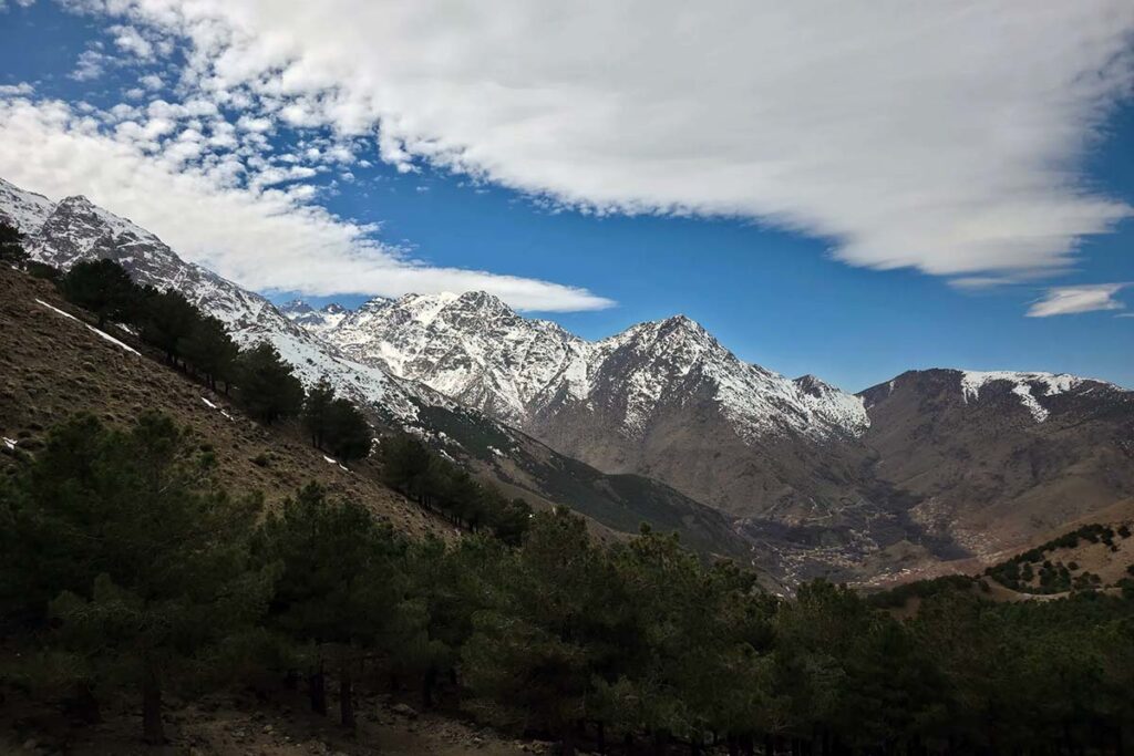
Pickup from your Marrakech riad and a drive of about 1 h 45 up the Ourika valley to Oukaimeden, Morocco's best-known ski station, at 2,620 m — in summer a broad alpine meadow beneath Jbel Oukaimeden (3,263 m) with shepherds' flocks, prehistoric rock carvings and the quiet buildings of the resort, where you meet your guide and muleteers. The walk starts high and climbs only modestly: the mule path leaves the end of the plateau road and rises south to Tizi n'Ou Addi at 2,928 m, the pass beneath the dark north face of Jbel Angour, in little more than an hour, with the Imenane valley and the peaks of Aksoual and Bou Iguenouane opening ahead. A long descent follows, first on stony ground and then through terraces, to Tacheddirt at about 2,300 m, the highest permanent village in the High Atlas, where lunch is taken. The afternoon continues down the Imenane on the level path above the river for about an hour to Ouanskra at about 2,000 m, a village of stacked stone houses facing Tinerhourhine across the water, where the night is spent.
Overnight & Meals: Night 1: traditional mountain guesthouse in Ouanskra (c. 2,000 m), selected by Imlil Trek. Meals: lunch in Tacheddirt, home-cooked dinner. Altitude: the trek starts at 2,620 m — the first morning is taken slowly.
Ouanskra — Ikkiss — Amsakrou — Imsker — Tizi n'Lbour — Imi Oughlad
Day 2
14 km distance +400 m / −950 m elevation 5½–6½ h walking
The second day follows the Imenane the whole way down. From Ouanskra the mule path passes through the terraces to Ikkiss, a cluster of earth-built houses on the slope, and continues through fields of barley and maize and groves of walnut to Amsakrou at about 1,700 m, where mint tea in a village house is customary. Below Amsakrou the valley widens and the path keeps to the river, past orchards of apple and walnut, to Imsker at about 1,505 m, the lowest village of the valley and the lunch stop. The afternoon climbs out of the Imenane over the low col of Tizi n'Lbour (Tizi n'Imsker), through pines and rock-slides with views back up the valley, and descends to Imi Oughlad, a village at the end of the road in the foothills at about 1,450 m, where the night is spent — the lowest and warmest night of the trek, with shops in the village.
Overnight & Meals: Night 2: traditional mountain guesthouse in Imi Oughlad (c. 1,450 m), selected by Imlil Trek. Meals: breakfast at the guesthouse, lunch at Imsker, dinner at the guesthouse. Resupply: shops in Imi Oughlad.
Imi Oughlad — Tizi n'Tacht — Imi n'Ifri — Tiziane
Day 3
12 km distance +700 m / −450 m elevation 4½–5½ h walking
From Imi Oughlad the mule path climbs south-east past cornfields and stone walls, through woods of juniper and pine, with the view opening back over the Asni plain. The pass of Tizi n'Tacht at about 2,000 m is reached after two hours or so and gives the first sight of the Azzaden valley below and the Toubkal massif beyond — the mountain you will face from the summit in two days' time. A short further walk reaches Imi n'Ifri, the usual picnic spot by a spring. The afternoon is a slow descent of two to two and a half hours along the valley, on a path and dirt track through small villages shaded by walnut and apple trees, with plots of maize and the red-earth landscapes the Azzaden is known for, to Tiziane at about 1,700 m, where the night is spent.
Overnight & Meals: Night 3: traditional mountain guesthouse in Tiziane (c. 1,700 m), selected by Imlil Trek — simple rooms, blankets, home-cooked dinner. Meals: breakfast at the guesthouse, picnic at Imi n'Ifri, dinner at the guesthouse.
Tiziane — Aït Aïssa — Tizi Oussem — Azib Tamsoult
Day 4
11–12 km distance +650 m / −100 m elevation 4½–5½ h walking
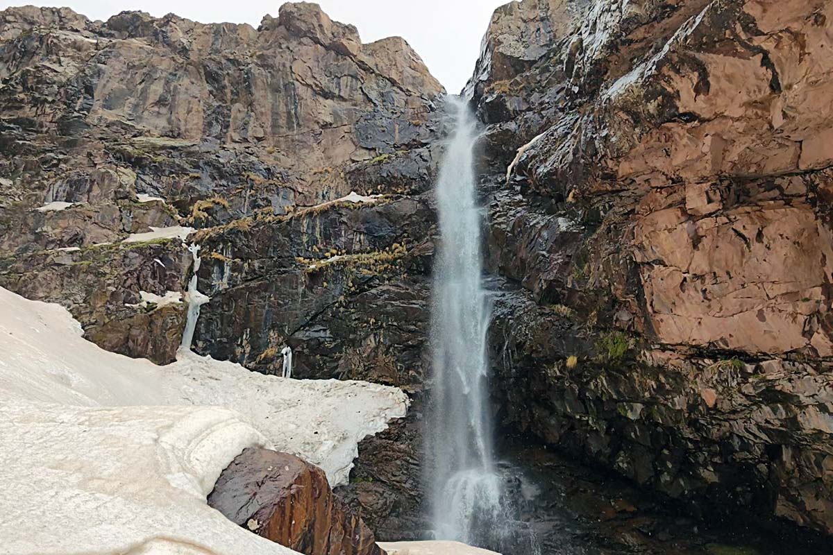
The second day follows the Assif n'Azzaden upstream on a mule track, back through Aït Aïssa and on through fields of barley and maize and groves of walnut to Tizi Oussem (1,850 m), the last inhabited village in the valley, its red clay houses stacked on the slope above the river; mint tea in a village house is customary. Above Tizi Oussem the valley narrows and the trail climbs steadily through juniper and the Tamsoult gorges, crossing the stream on stepping stones, to the summer pastures of Azib Tamsoult at 2,250 m — a grassy bowl where shepherds' stone shelters and a small mountain refuge sit beneath the cliffs of the Tazaghart plateau. Arrival is usually by early afternoon; with time in hand the guide may take the group up the side valley to the Ighouliden waterfalls, the highest in the massif, and back before dinner. An early night: tomorrow starts at first light.
Overnight & Meals: Night 4: mountain refuge or camp at the Tamsoult pastures (2,250 m), selected by Imlil Trek — dormitory or tents, hot meals, a cold starry night. Meals: breakfast at the guesthouse, picnic lunch, dinner at the pastures. Optional: the Ighouliden waterfalls in the afternoon.
Azib Tamsoult — Tizi n'Tzikert — Adrar El Hadj — Aroumd
Day 5
9–10 km distance +900 m / −1,250 m elevation 6–7 h walking
The summit day starts at first light. From the pastures a steep, loose path climbs north-east out of the Azzaden, gaining 680 m in about 3 km to the col of Tizi n'Tzikert at 2,930 m, reached in two and a half to three hours; the pace is slow and the view back over the Tamsoult bowl and the Tazaghart cliffs grows with every zigzag. Bags and mules go ahead over the col while the group turns onto the ridge for the summit: a rocky but unexposed crest that rises another 205 m to the top of Adrar El Hadj (also written Adrar Adj) at 3,134 m, about forty minutes each way. The summit faces the north face of Jbel Toubkal directly across the Mizane valley, with the Ouanoukrim group, Aksoual and the long ridge of Jbel Oukaimeden completing the circle — the finest view on any of our valley treks. Back at the col, a long stony path descends 1,000 m into the Mizane valley in about two hours, with Aroumd growing on its rocky spur below; the fifth night is spent in the village at 1,900 m, with the mountain you looked at all day at the head of the valley.
Overnight & Meals: Night 5: traditional mountain guesthouse in Aroumd (1,900 m), selected by Imlil Trek — rooms, a terrace facing the mountain, home-cooked dinner. Meals: breakfast at the pastures, picnic lunch at the col or on the summit, dinner at the guesthouse. Water: carry two to three litres from Tamsoult — none until Aroumd. Bad weather: the summit is dropped, the col crossed; in snow the day becomes Tizi Mzik to Imlil.
Aroumd — Imlil
Day 6
1 h walking
A late breakfast on the terrace with the mountain you climbed yesterday at the head of the valley, then the easiest walk of the trek: down the stone steps from Aroumd, past the Imlil waterfall and along the wide track beside the river through the hamlets and orchards to the centre of Imlil, in under an hour. There is time for a last mint tea in the village before your driver takes you back to Marrakech, arriving by early afternoon — a half-day earlier than the shorter programmes, and with the summit already a day behind you.
Overnight & Meals: Meals: breakfast at the guesthouse. Back in Marrakech: early afternoon.