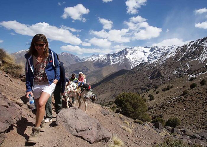
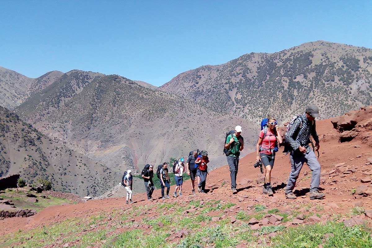
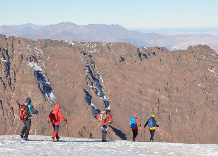
- Trekking
- Morocco Tours
- Marrakech Day Trips
- Desert Tours
- 3 Days – Marrakech Desert Tour
- 3 Days – Fes to Marrakech Desert Tour
- 3 Days – Marrakech to Fes Desert Tour
- 4 Days Desert Tour from Marrakech to Fes
- 4 Days Fes To Marrakech Desert Tour
- 4 Days Marrakech to Merzouga Desert Tour
- 4 Days Marrakech to Erg Chigaga Desert Tour
- 6 Days Desert Tour from Casablanca via Chefchaouen & Fez
- 6 Days Marrakech to Chefchaouen Desert Tour
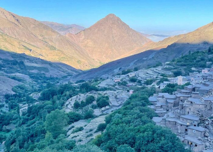
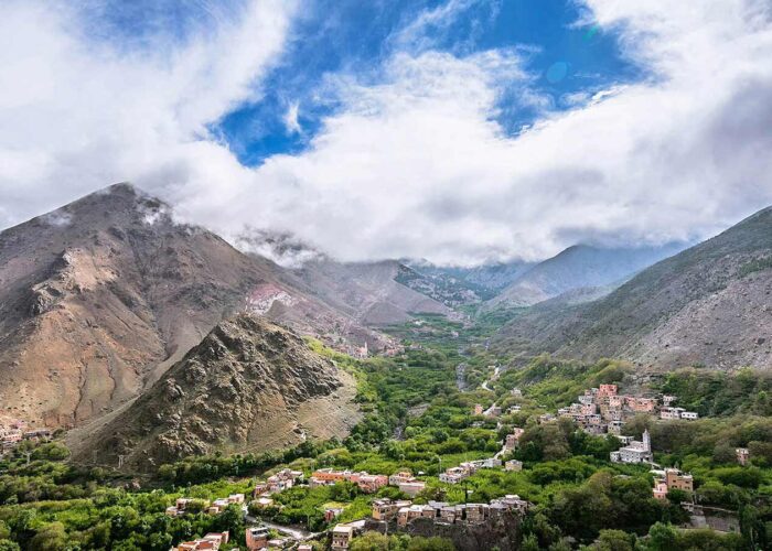
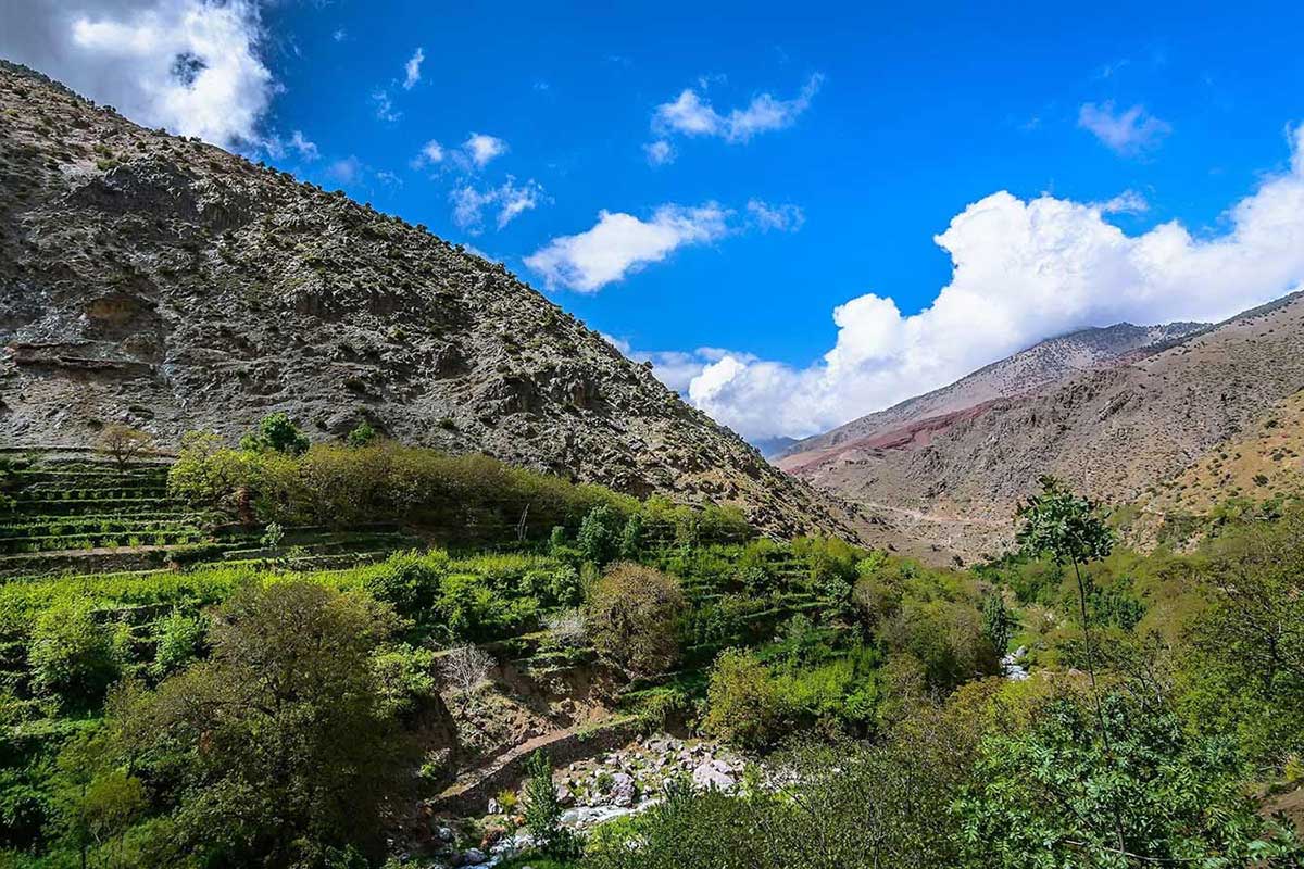
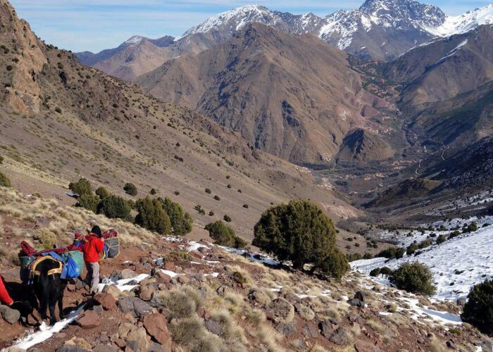
- Imlil
- Blog
- About us
- Contact


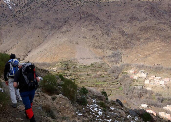
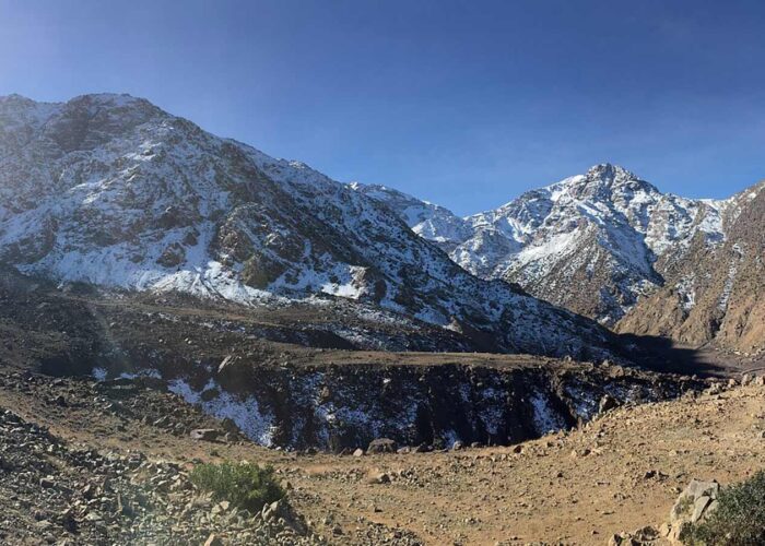
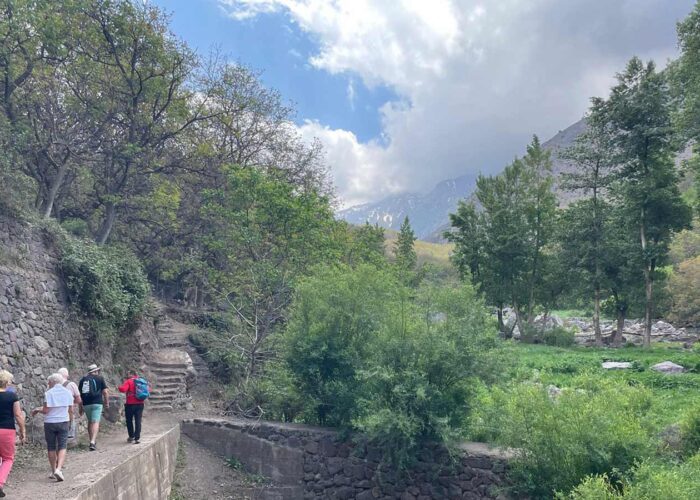
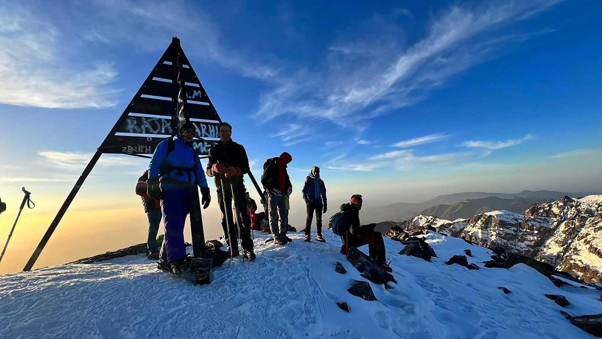
 — Day 4 of the 5-Day Berber Villages & Toubkal Round Trek")