Tap a day to trace it. Your certified guide sets the pace and monitors acclimatization throughout.
Aguersioual — Matate — Tizi Oudite — Aït Aïssa — Tiziane
Day 1
10–11 km distance +640 m / −620 m elevation 5–6 h walking
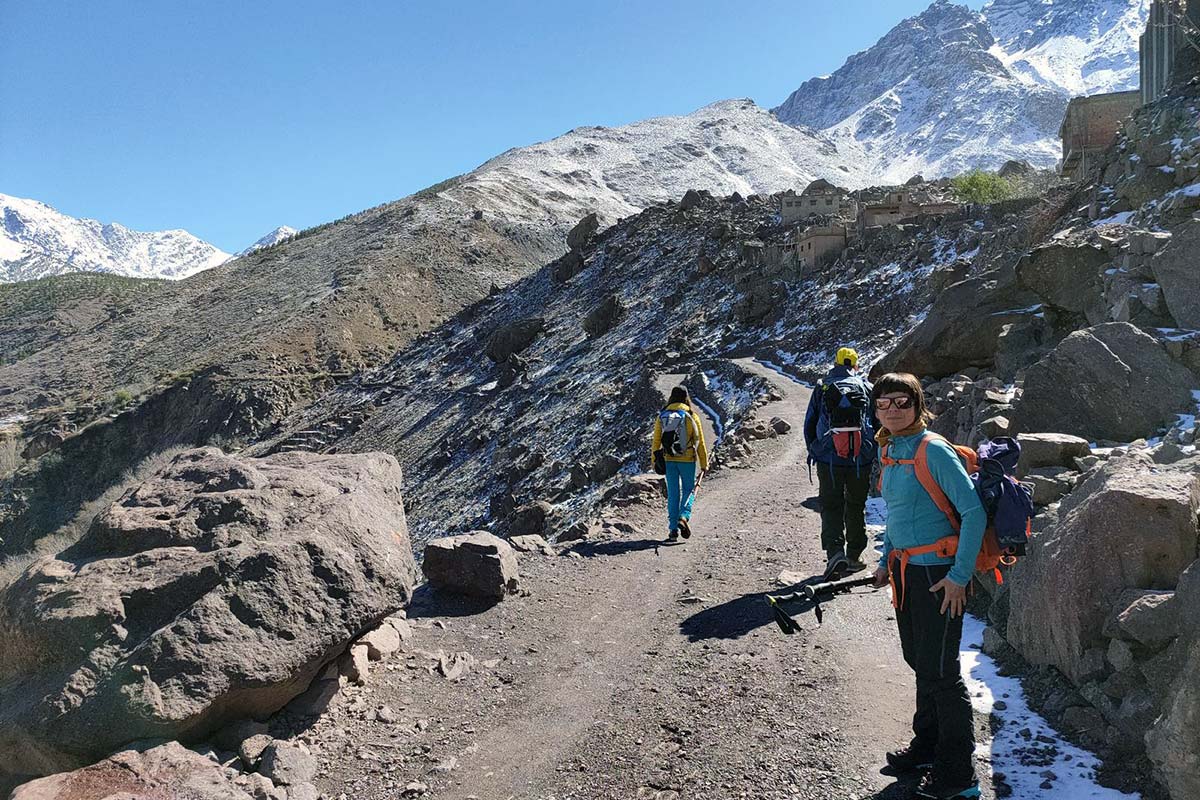
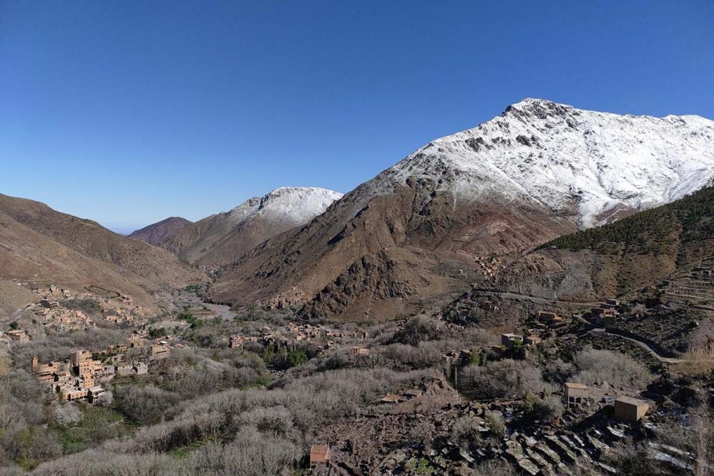
Pickup from your Marrakech riad and a drive of about 1 h 20 to Aguersioual, a village on the Asni–Imlil road at roughly 1,680 m, where you meet your guide and muleteer. The path leaves the road westwards into the narrow Matat side-valley, following the stream through terraced fields and walnut groves to the hamlet of Matate. Above the village the cultivation stops and the path climbs more steeply through open slopes dotted with thuriferous junipers, their trunks twisted by centuries of wind — rough and occasionally faint, which is why a local guide matters here. After two to three hours you reach the cairns on Tizi Oudite (2,219 m) and the first full view of the Azzaden valley, with the high plateau of Tazaghart closing the horizon. The descent drops through juniper and terraces to Aït Aïssa (Id Aïssa) at about 1,800 m, then continues down the valley path for 30–45 minutes to Tiziane, a terraced village at about 1,700 m where the first night is spent.
Overnight & Meals: Night 1: traditional mountain guesthouse in Tiziane (c. 1,700 m), selected by Imlil Trek — simple rooms, blankets, home-cooked dinner. Meals: picnic lunch at the col or at Matate, dinner at the guesthouse.
Tiziane — Aït Aïssa — Tizi Oussem — Azib Tamsoult
Day 2
11–12 km distance +650 m / −100 m elevation 4½–5½ h walking
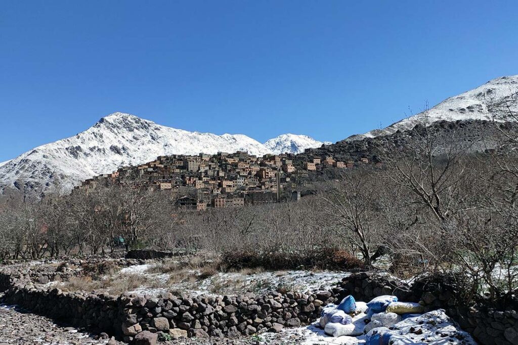
The second day follows the Assif n'Azzaden upstream on a mule track, back through Aït Aïssa and on through fields of barley and maize and groves of walnut to Tizi Oussem (1,850 m), the last inhabited village in the valley, its red clay houses stacked on the slope above the river; mint tea in a village house is customary. Above Tizi Oussem the valley narrows and the trail climbs steadily through juniper and the Tamsoult gorges, crossing the stream on stepping stones, to the summer pastures of Azib Tamsoult at 2,250 m — a grassy bowl where shepherds' stone shelters and a small mountain refuge sit beneath the cliffs of the Tazaghart plateau. Arrival is usually by early afternoon, which is deliberate: tomorrow is the longest day, and a quiet afternoon and an early night at 2,250 m are the best preparation for it.
Overnight & Meals: Night 2: mountain refuge or camp at the Tamsoult pastures (2,250 m), selected by Imlil Trek — dormitory or tents, hot meals, a cold starry night. Meals: breakfast at the guesthouse, picnic lunch, dinner at the pastures.
Azib Tamsoult — Ighouliden falls — Tizi Aguelzim — mountain refuge
Day 3
10–13 km distance +1,350 m / −400 m elevation 7–9 h walking
An early start. From the pastures a rocky path climbs the valley for about forty minutes to the Ighouliden waterfalls, where the stream drops in several steps down a rock wall, at their fullest in early summer. Above the falls the valley narrows and turns stony, and the path begins the long climb that gives the day its character: a seemingly endless series of zigzags — around eighty of them — up a scree slope to the col of Tizi Aguelzim at 3,560 m. The gradient is steady and the path good, but the altitude is felt increasingly above 3,000 m, and the climb takes four to five hours from the pastures. The reward is one of the finest viewpoints in the range: the entire Toubkal cirque opens ahead, the twin refuges visible as specks at the valley head, the summit ridge above them and the peaks of Ouanoukrim, Akioud and Aguelzim ranged around. Lunch is taken at or just below the col. The descent into the Mizane cirque is steep and stony at first, then eases to the refuges at 3,207 m, reached in about two hours. The afternoon is for rest and an early meal before the summit morning.
Overnight & Meals: Night 3: mountain refuge at 3,207 m, selected by Imlil Trek — dormitory-style, blankets, hot dinner. Meals: breakfast at the pastures, picnic at the col, dinner at the refuge. Water: fill every bottle at Tamsoult — nothing until the refuge.
Refuge — Ikhibi Sud — Toubkal summit — Sidi Chamharouch — Aroumd
Day 4
14 km distance +965 m / −2,265 m elevation 7½–9 h walking
The day begins at around 04:30–05:30 with a head torch. Behind the refuges the path crosses the stream and enters the Ikhibi Sud, the south cwm, a steep bowl of scree and boulders, climbing its right-hand side in loose zigzags — the hardest hour of the ascent. The gradient eases where the cwm opens onto a shoulder, and a rising traverse reaches the col of Tizi n'Toubkal at about 3,940 m. The summit crest leads north-east over broken rock to the iron pyramid at 4,167 m, usually three to four hours after leaving the refuge. In clear weather the panorama takes in Ouanoukrim and the whole High Atlas ridge, the Anti-Atlas and Jbel Siroua to the south and the Haouz plain to the north — with yesterday's col, Tizi Aguelzim, a notch on the western rim and the Azzaden beyond it. The descent to the refuge takes about two hours on loose scree; after a second breakfast the walk down the Mizane valley through Sidi Chamharouch ends not in Imlil but in Aroumd, three kilometres short, for a village night that spares tired legs the last stretch.
Overnight & Meals: Night 4: traditional mountain guesthouse in Aroumd (1,900 m), selected by Imlil Trek — rooms, a terrace facing the mountain, home-cooked dinner. Meals: pre-dawn breakfast and a second breakfast at the refuge, packed lunch on the descent, dinner at the guesthouse.
Aroumd — Imlil
Day 5
1 h walking
A late breakfast on the terrace with the mountain you climbed yesterday at the head of the valley, then the easiest walk of the trek: down the stone steps from Aroumd, past the Imlil waterfall and along the wide track beside the river through the hamlets and orchards to the centre of Imlil, in under an hour. There is time for a last mint tea in the village before your driver takes you back to Marrakech, arriving by early afternoon.
Overnight & Meals: Meals: breakfast at the guesthouse. Back in Marrakech: early afternoon.